Gujarat Cooperative Milk Marketing Federation (GCMMF), which markets the Amul range of dairy products, was in a fix when the Centre announced the lockdown last year. While demand for dairy products surged, there were no takers for its frozen products. That’s when GCMMF decided to use the frozen products supply chain for transporting dairy products. “We have over 3.6 million farmers, 18,700 societies, 5,000 milk tankers going to 200 chilling stations, apart from 62 branches, 10,000 distributors and one million retailers. I knew what was happening at every point, where were tankers being stopped, in which village milk had not been collected and in which market our tankers could not go,” says R.S. Sodhi, Managing Director, GCMMF.
Sodhi could accomplish this seemingly impossible feat with the help of Location Based Technology or Geographic Information Systems (GIS). This refers to any technology that uses real-time location mapping to function. Most commonly understood as a medium for driving directions, governments decided to use location-based services to map land ownership and track implementation of schemes on the ground. Insurers, too, stepped in and started using it to assess damage to property or crops due to natural calamity. The rest of the corporate sector caught up and started using live location tracking for logistics planning, proximity-based marketing, workforce management and even fraud prevention (by linking a credit card transaction to a specific location for example). The rising demand means location-based services are expected to generate revenues worth Rs 1 lakh crore by 2029, says a report by Department of Science and Technology. “For the past five years, the sector has grown at a healthy 30 per cent CAGR on the back of increased automotive sales and adoption by ecommerce players and ride-hailing/food delivery apps,” says Rohan Verma, CEO & Executive Director, MapmyIndia.
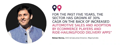
In order to help the industry realise its potential, the Centre recently issued guidelines for acquiring geospatial data and using it in geospatial data services, including maps. The guidelines aim to create a regime which encourages open access and collaboration for such data while drawing a clear distinction between activities of Indian and foreign entities in relation to geospatial data and technologies used to collect such data. “The policy guidelines will make mapping a more viable business than earlier,” says Verma.
Government As A Customer
Government departments are turning out to be heavy users of GIS services, be it cadastral management (showing extent, value and ownership of land, especially for taxation), providing a framework for smart cities, mapping of households for utility services or exploring natural resources. For instance, in 2020, Goa-headquartered Transerve worked with the Delhi government to create socio-economic profiles of residents of Delhi. The information is being used in policy making. The Centre’s plan to build smart cities, which will involve emergency response system and smart waste management and utility services, also hinges on use of location technology for automating operations.
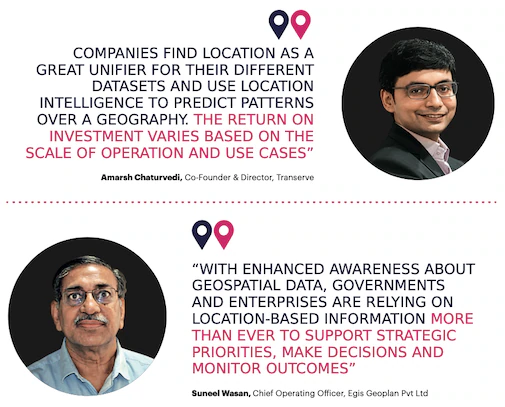
“With enhanced awareness about geospatial data, governments and enterprises are relying on location-based information more than ever to support strategic priorities, make decisions and monitor outcomes,” says Suneel Wasan, Chief Operating Officer at EGIS Geoplan Private Ltd. EGIS offers solutions such as analysis and dissemination of geospatial data, producing cartographic products and designing customised web and mobile applications for varied areas, including highways, water, telecom, mining, agriculture and disaster management.
Location technology is also helping the world deal with the pandemic as health agencies use maps and spatial dashboards to get information from the ground. It is also being applied in vaccine management and distribution, with location embedded mobile apps allowing citizens to register for a vaccine and search for the nearest vaccine centre as authorities map out cold storage facilities for seamless delivery to healthcare centres. Even the National Digital Health Mission, launched in 2020, will use location-based services to build a database of health facilities in a city or a district.
GIS Goes Private
Geospatial data and technologies have become an integral part of private companies too. First and foremost, they have paved the way for smart supply chain fleets. “Integration of Covid-19 datasets centred around virus hotspots with existing business data on supply chains, warehouse management, storage, etc, has picked up pace, transforming fleet operations across transport & logistics, supply chain and e-commerce industries,” says Abhijit Sengupta, Director and Head of Business, India, SAARC & Southeast Asia at HERE Technologies, a Netherlands-based company that provides mapping and location data and related services.
Insurance is another area where location technologies are playing a big role. For instance, GIS technology is helping insurance companies identify damage to crops from a natural calamity. “They can do a drone survey to assess the damage to the crops and look at the area where the damage has occurred and find out the value of the crop depending on its growth level at the time of the damage,” says Agendra Kumar, President Esri India, a GIS solutions provider.
GPS for planning and monitoring delivery routes
In logistics, businesses are leveraging route planning GPS software for planning and monitoring delivery routes to save time and fuel costs. Bike taxi service provider Rapido is mapping geospatial spaces to improve its service. “This includes identifying the distance between two points, identifying a location based on the name of the place and identifying the best possible route between two points. For all these cases, we use a combination of OpenStreet Maps and Google Maps depending on the need and the specific use case,” says Srivatsa Katta, Head of Engineering, Rapido. The company’s geocoding API converts real addresses into geographic reference positions to be placed on a map.
The automobile industry is also not far behind in using location based services. MapmyIndia’s hyperlocal map and geo-demographic data and analytics solutions are helping charging station developers select sites for charging points so they can be used optimally. Also, MapmyIndia offers solutions that account for the destination of the vehicle, traffic, weather and terrain to predict the distance that can be covered with the remaining charge. These solutions will be the key to the success of autonomous vehicles as well.
Interestingly, companies providing geo-location technology have also deployed these solutions. EGIS is using them to track performance of employees. “The clients are charged on billable hours and so the time spent on each activity is important. The technology helps us capture the productive time of employees. It is a tool with multiple functions that users can access through a web interface, a desktop or a laptop,” says Suneel Wasan of EGIS. The most notable feature of this technology is “desktop time”, a record of all the work that happens on an employee’s device. Others include a location feature to collate information for outside meetings; it tracks where employees are spending their time.
The other use cases vary from marking distributor territories and analysing reach and servicing (FMCG, consumer durables and other product marketing companies) to site selection for BTS towers based on population density and demographics (telecom).
RoI and New Regulations
“Companies find location as a great unifier for their datasets and use location intelligence to predict patterns over a geography. The return on investment (RoI) varies based on the scale of operation and use cases. Increase in operational efficiency helps companies grow top and bottom line up to 20 per cent in most cases,” says Amarsh Chaturvedi, Co-Founder & Director, Transerve. The company offers geospatial analysis to visualise and process data for insights.
GIS is a technology where investment is recovered in a few months. In case of entities such as utilities, telecommunication companies and property tax collection agencies where direct investment or recovery is involved, measuring the RoI is easy. “However, there are areas such as healthcare where RoI is not calculated in terms of rupees. It’s the same with disaster management. These technologies are used to save precious human lives. It’s very hard to put a value there, but in this technology, the investment is a fraction of the benefits,” says Kumar of Esri India.
The service providers have started integrating GIS with new technologies like artificial intelligence, machine learning and cloud data. This will expedite the reach of the geospatial industry. The new regulations will also help considering that the one thing that was pulling down the industry was the inordinate delay in getting permissions for surveying and publishing data. There have also been instances where surveyors have been being hauled by law enforcement agencies, putting them and the organisation at legal risk. However, the new regulatory changes for GIS will liberalise acquisition and production of geospatial data and geospatial data services, including maps. This will significantly benefit diverse sectors of the economy and, more importantly, boost efforts for effective governance, decision making, development planning and emergency response. “Whatever regulatory impediments, red tape and grey areas that were hindering us have been done away with. With broad limits and no-go areas been defined, we can now freely collect data, self-certify its veracity and publish it with unprecedented alacrity,” says Rohan Verma of MapmyIndia.


